English
* Search Name or Package Name
* Search Name or Package Name
Category:Photography
Version:4.0
Size:14.40M
Updated:2025-03-03
Language:English
Ratings:475
Package ID:com.blackhash.gpsmapcamera
Developer:Blackhash Technologies
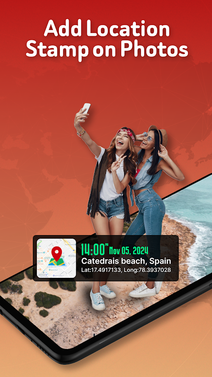
Capture and share your memories like never before with GPS Map Location on Camera. This app is perfect for travelers, outdoor enthusiasts, and professionals who want to add a personal touch to their photos. With features such as automatic location stamping, compass overlay, real-time map display, custom notes, and stylish templates, your photos will tell a story of where and when they were taken. Whether you're documenting your travels, keeping track of work reports, or simply recording precious memories, this app has everything you need to make your photos truly one-of-a-kind. Download GPS Map Location on Camera now and start adding a new dimension to your photography experience.
❤ Precise and Detailed Location Data: GPS Map Location on Camera automatically tags photos with comprehensive GPS data, including latitude, longitude, altitude, and address, giving your photos context and accuracy.
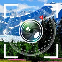
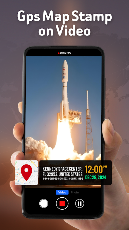
❤ Real-Time Map Display: See your location displayed on a map in real-time while taking photos, ensuring you always know where you are capturing memories.
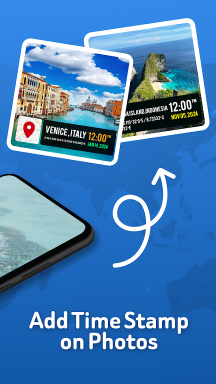
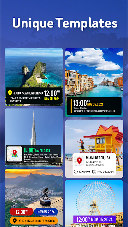
❤ Customizable Features: Personalize each photo with custom text notes, choose from stylish templates for displaying location and compass data, and include timestamp and date details in various formats.
❤ Professional-Grade Capabilities: Ideal for professionals in the field, travelers, and adventure photographers, this app is perfect for documenting work reports, travel logs, and memorable moments.
❤ Enable GPS Tracking: Make sure to allow the app access to your device's GPS function to ensure accurate location tagging on your photos.
❤ Customize Templates: Experiment with the various templates available to find the style that best suits your preferred way of displaying location and compass data on your photos.
❤ Utilize Notes Feature: Add personalized text notes to your photos to record important details or meaningful memories associated with each image.
GPS Map Location on Camera is the ultimate tool for capturing and sharing photos with detailed location and directional data. With its precise GPS tagging, real-time map display, customizable features, and professional-grade capabilities, this app is a must-have for travelers, field professionals, and anyone who wants to preserve memories with full context. Download GPS Map Location on Camera today and start capturing the moments that matter with enhanced accuracy and personalization.

Copyright © 2025 51wma ALL Rights Reserved
yoooohary@gmail.com